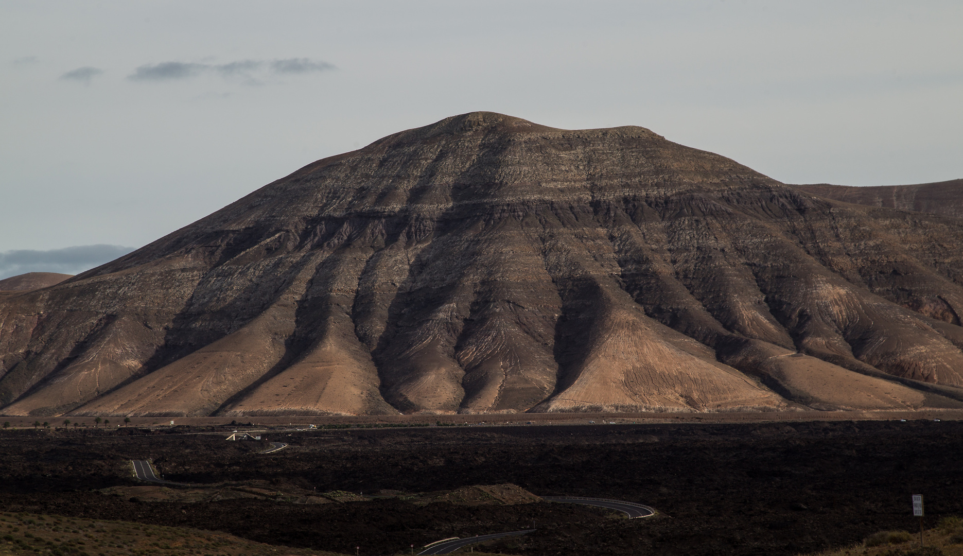
E r o s i o n . . .
.
.
.
V o l c a n o - westlich von Yaíza,
sieht in Google.maps so aus:
https://www.google.de/maps/place/Lanzarote,+Spanien/@28.8872368,-13.7923916,8412a,20y,40.39t/data=!3m1!1e3!4m2!3m1!1s0xc4623cd1ca2398b:0xa2a0d68ac57b1518!6m1!1e1
Den Blick hat man, wenn man die LZ-704 von El Golfo durch die Montanas de la Vieja Gabriela fährt und auf Yaíza zuhält...
Montana de la Vieja Gabriela
BGW-photo
Auf der LZ-704 fährt man praktisch permanent durch alte Lavafelder ... (wie auf Island oft)
Bernd & Ines
durch den Nationalpark Timanfaya per Video:
https://www.youtube.com/watch?v=tiKzUv4QA0o


Commenti 0
La foto non si trova in discussione. Per questo in questo momento non può essere commentata.
Cancella commento
Eliminare commento e risposte